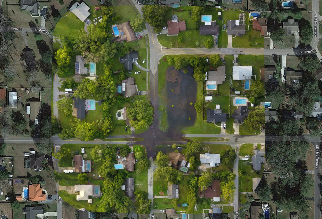
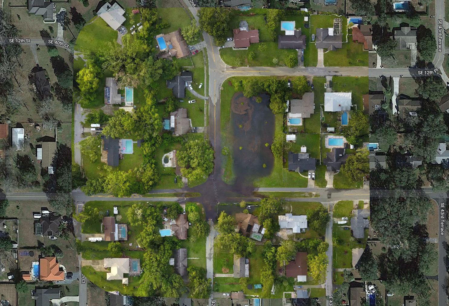
This is an example 2-D orthomosaic map of retention pond flooding in Southeast Ocala after several days of heavy rain.
The map was created from 161 aerial photos. The high resolution zoomable version has a ground sample distance (GSD) of 2.07cm per pixel. A 360 3-D point cloud was also created.