
Construction Progress by NDZ Digital LLC
Drone Construction Progress is an invaluable tool that can significantly benefit your business by providing insights and actionable data regarding ongoing construction projects. Leveraging aerial imagery offers a detailed overview of project status, milestones achieved, and potential challenges encountered.
By integrating drone technology into your construction progress tracking, you gain access to near real-time visual data that enables better decision-making, improved communication with stakeholders, and enhanced project management capabilities. The ability to access accurate, up-to-date visual data remotely empowers you to make informed decisions quickly, mitigate risks effectively, and ultimately, deliver successful construction projects on time and within budget.
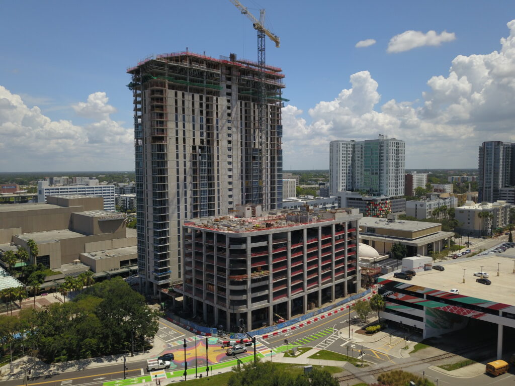
High Resolution Aerial Photography
Capture high-definition aerial photographs showcasing your construction site from various angles and elevations. These images offer a bird’s-eye view of the site progression. Construction progress drone photos help you track changes, monitor site logistics, and assess overall project development.
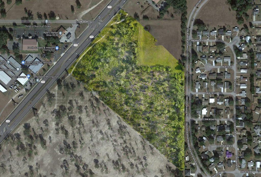
Orthomosaic Maps and 3-D Models
Orthomosaics are constructed from many high resolution aerial images. They are invaluable for construction progress, offering a detailed, accurate view of the evolving site. The high-resolution zoomable maps can be used to calculate distance and area measurements. 3-D models provide detailed perspectives beneficial for planning and analysis.
360 Degree Tour
Virtual 360-degree tours enable stakeholders and team members to navigate through every corner of the project with unprecedented detail and clarity. Explore different phases of construction, inspect intricate details, and visualize the final outcome in a fully interactive and engaging environment.
Aerial Panorama
Aerial 360-degree panoramas provide a complete and immersive view of a location from above. Capture every angle and detail in a single seamless image.